- Demo of ML label extension for STAC
- urban3d AoI
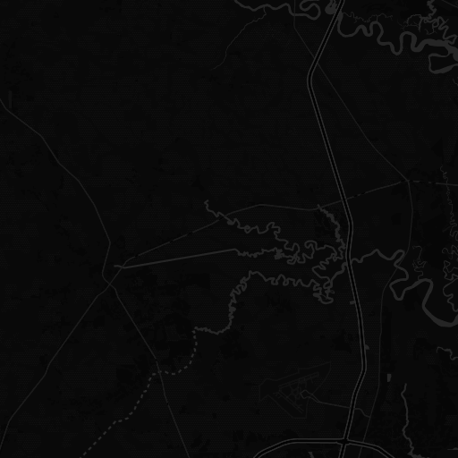
- urban3d_JAX_Tile_004
urban3d_JAX_Tile_004
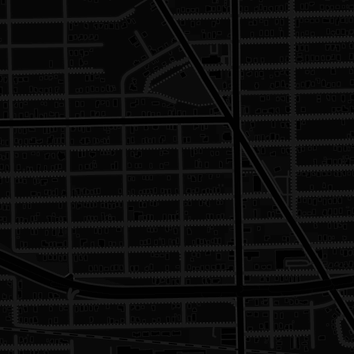
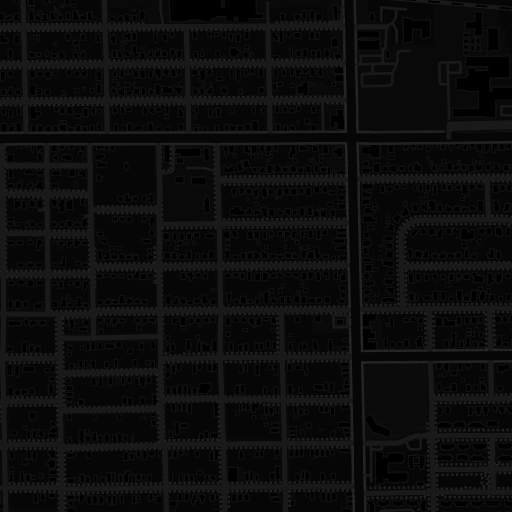
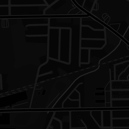


Map data © OpenStreetMap contributors, © CARTO, Imagery proprietary USSOCOM Urban 3D Challenge Benchmark Dataset
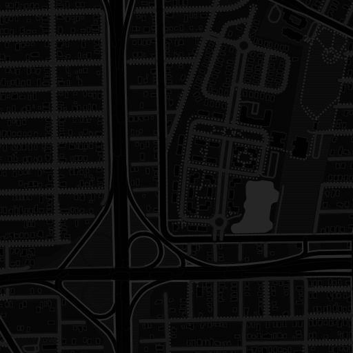
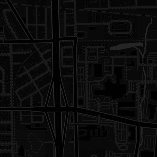
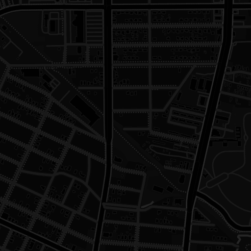
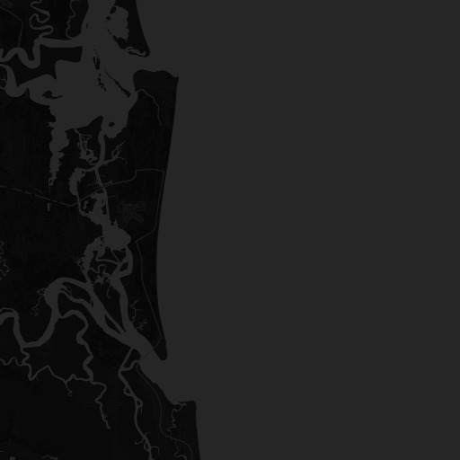
urban3d_JAX_Tile_004_dsm
- urban3d_JAX_Tile_004_dsm
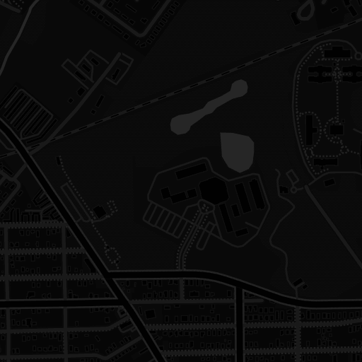
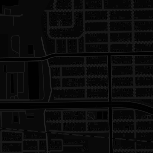
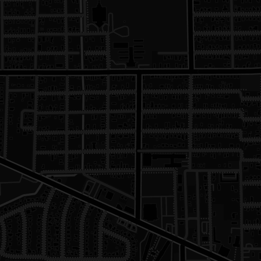
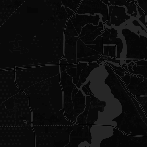
- urban3d_JAX_Tile_004_dtm
- urban3d_JAX_Tile_004_rasterlabel
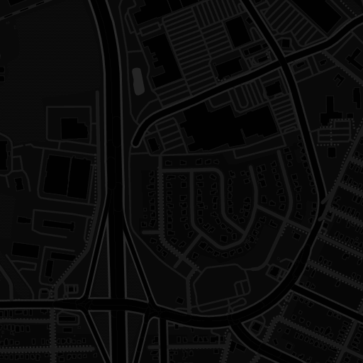
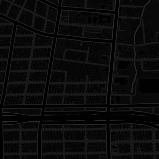
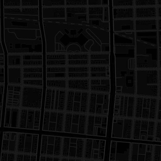
- urban3d_JAX_Tile_004_tile
- No elements found. Consider changing the search query.
- List is empty.
| Name | Content-Type |
|---|---|
| urban3d_JAX_Tile_004_aoi_shape | application/geo+json |
| urban3d_JAX_Tile_004_dsm | image/vnd.stac.geotiff; cloud-optimized=true |
| urban3d_JAX_Tile_004_dtm | image/vnd.stac.geotiff; cloud-optimized=true |
| urban3d_JAX_Tile_004_rasterlabel | image/vnd.stac.geotiff; cloud-optimized=true |
| urban3d_JAX_Tile_004_tile | image/vnd.stac.geotiff; cloud-optimized=true |

| Collection | urban3d AoI |
| License | proprietary by USSOCOM Urban 3D Challenge Benchmark Dataset |
| Acquired | 6/1/2019, 12:00:00 AM UTC |
| label:property | "raster" |
| label:description | building instance segmentation |
| label:task | segmentation |
| label:type | raster |
| label:method | manual |
| label:classes | {"name":"raster","classes":"Each building region is assigned a unique (positive) integer index. The file contains 1 band of 16-bit unsigned integers [0..65535]. Background (no building) is represented by 0."} |
| label:overview |